
The technological innovations of monitoring passes through REEForest project!
It is quite “easy” to fly over a forest and get data on how trees make it up, just as it is relatively easy to organize an expedition to collect samples in most terrestrial environments.
But when the environment you want to study is underwater, how do you do it?
Finding new ways to monitor a place where humans cannot stay as much as they need and, above all, cannot see almost anything from the distance is both challenging and stimulating.
Three researchers from ISPRA (Italian Institute for Environmental Protection and Research), experts in marine environmental monitoring, have just returned from one of their many missions in the Cilento National Park to carry out investigations using aerial drones and underwater cameras.
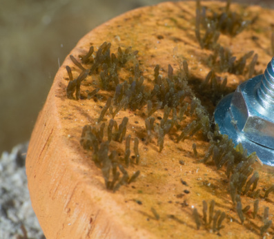
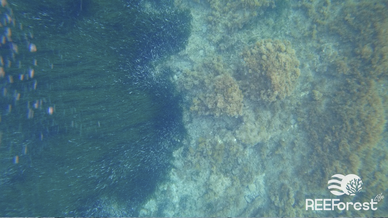
The objective was both simple and complex to achieve: mapping the forest of the brown alga Cystoseira on that seabed.
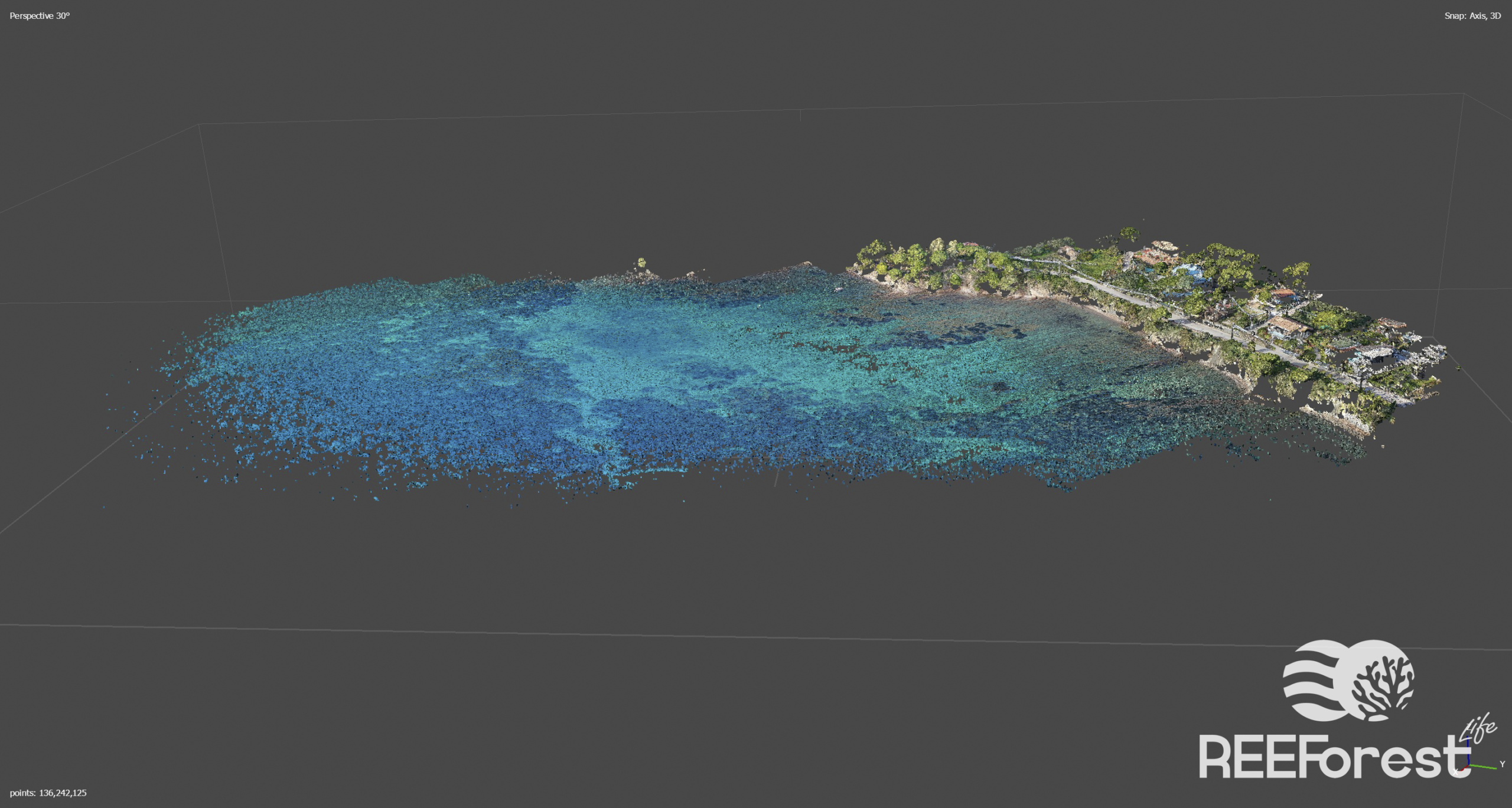
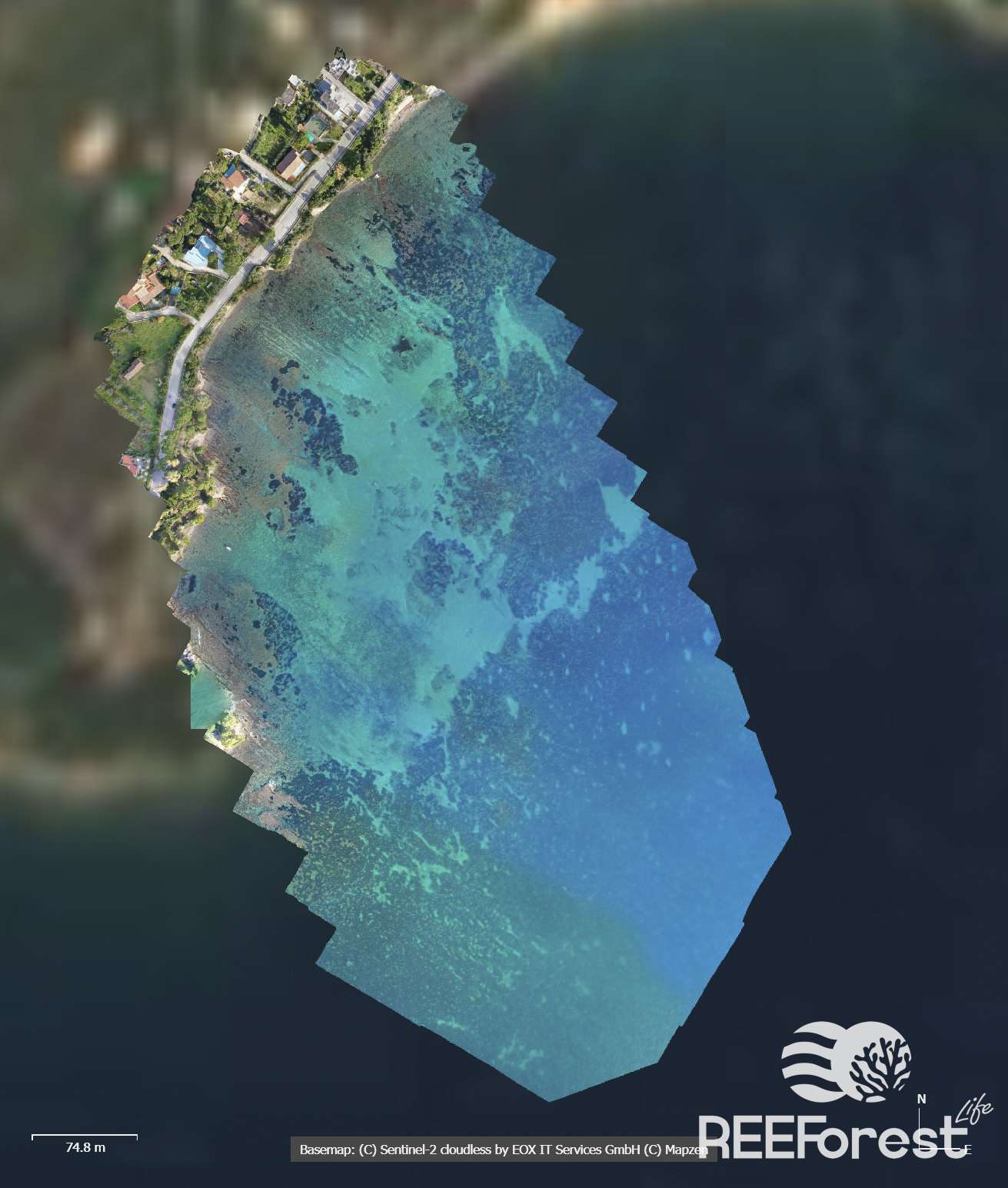
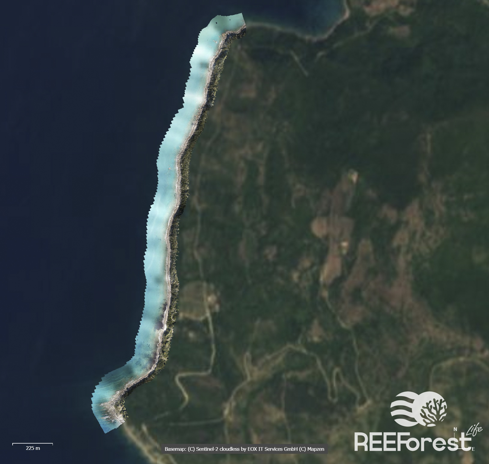
Aerial drones (or UAV – Unmanned Aerial Vehicle), equipped with high-resolution cameras, are important tools for investigating natural and man-made environments, and make it possible to scout vast areas, even “impervious” ones (such as reefs), quickly and by acquiring high quality, georeferenced information and images at relatively low cost.
Drones were used in association with underwater cameras that can validate in the field the presence of a specific underwater habitat detected by the drone. The georeferenced and high-resolution images obtained are preliminarily processed to enable initial identification of marine habitats. Post-processing of the images for the generation of orthomosaics and other derived products useful for the next step of automatic habitat classification, requires more time and the use of specific software by qualified personnel with specific technical and scientific skills..
The surveys for REEForest are carried out during the spring seasons in Santa Maria di Castellabbate MPA, particular in the Gulf of Ogliastro and Punta Licosa, areas where Cystoseira is naturally present.
The spring season was chosen because it is the main period of reproduction of this algae and the maximum biomass is generally detected, which therefore makes Cystoseira more easily detectable through drone surveys.
We are experimenting with this integrated survey technique between drones and underwater images in order to provide a useful, effective and fast tool for the environmental monitoring of Cystoseira habitats.
This activity will make it possible to provide operational indications and a specific methodological protocol for carrying out surveys for mapping Cystoseira forests areas; these survey technique will be later transferred to different users in other Marine Protected Areas too.
Pretty sure these techniques combined with the regular underwater monitoring involving divers can help us to increasingly discovery the secrets of Cystoseira species, ultimately leading to the improvement of our restoration effectiveness!
