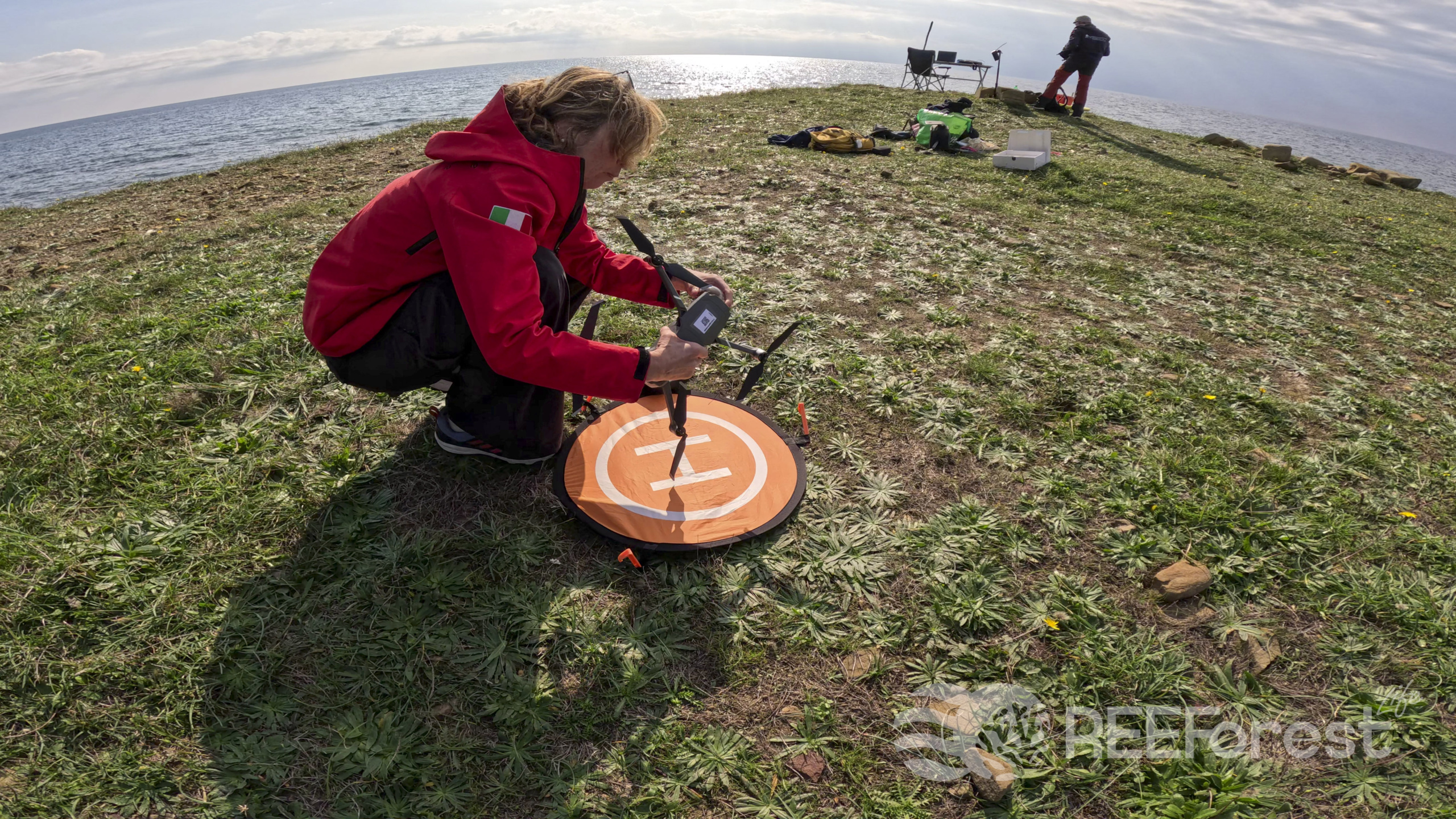
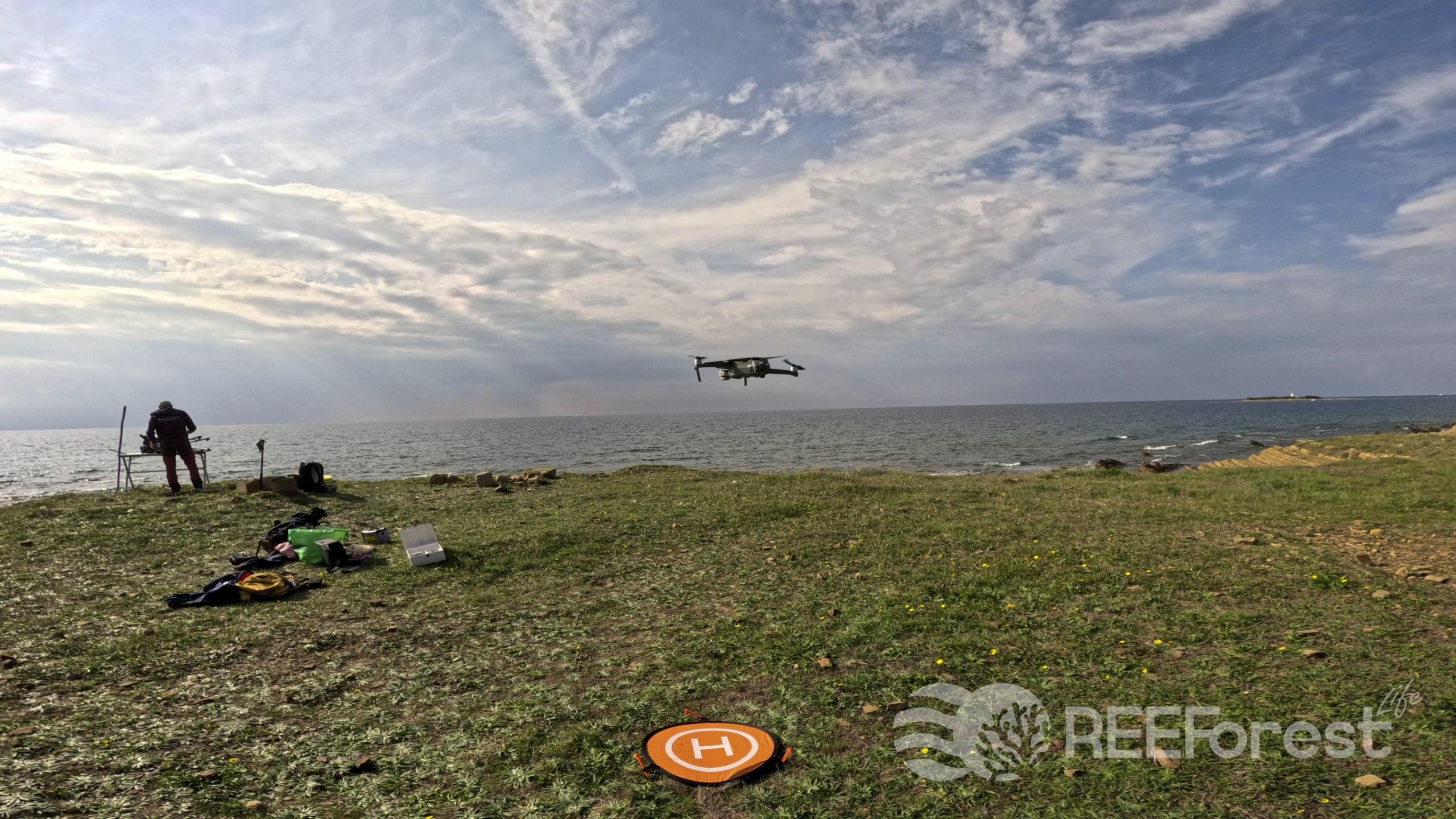
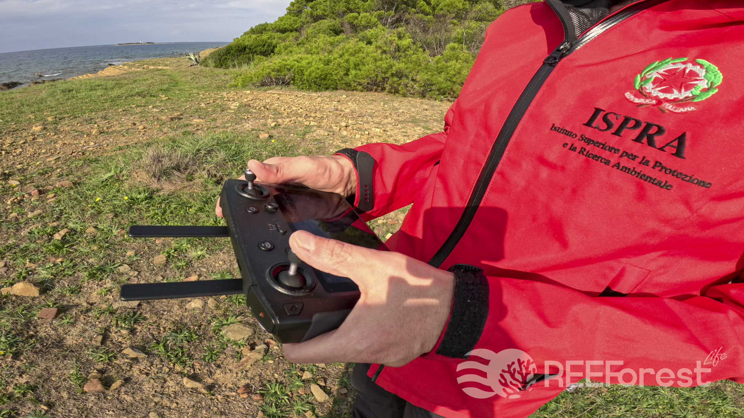
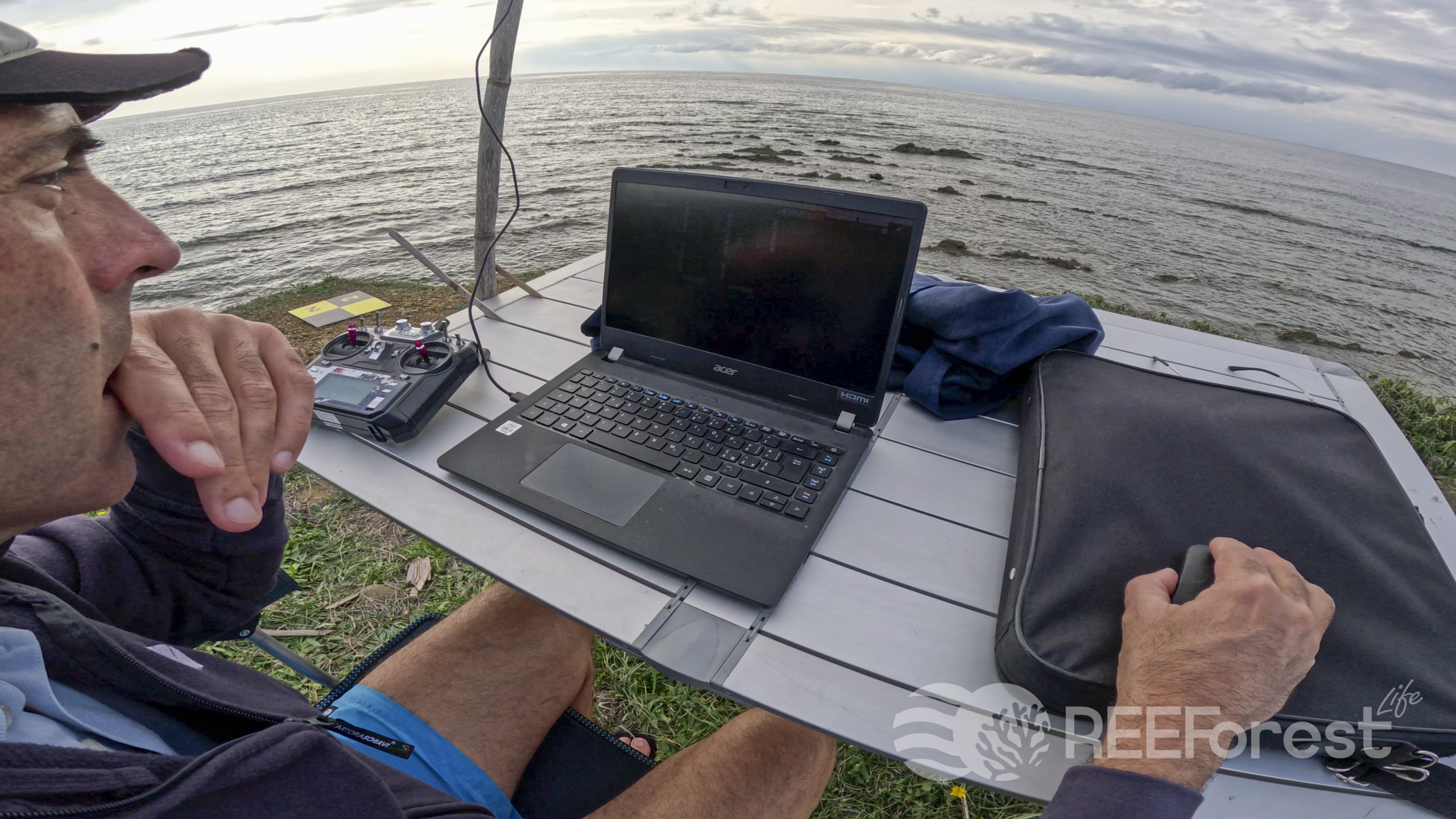
Successful monitoring trials were conducted by ISPRA researchers in the Cilento Vallo di Diano and Alburni National Park this November! These activities involved air drone and surface marine drone mapping of the forests of the brown algae Cystoseira. The activities were concentrated in the Punta Licosa marine area along a coastline of about 500m for a total marine area of about 0.05 km2. Within this range is the high-density donor site of Cystoseira identified for the REEForest project.
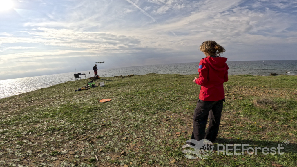
The drone followed a flight plan to acquire coverage of the entire area, ensuring at least 70% image overlap, at a flight height of about 40m. In association with the drone, an ultra-high resolution underwater image acquisition system was also tested from an autonomous surface vehicle equipped with an autopilot system and GPS. The extraordinarily favorable weather and sea conditions, given the autumn period, enabled the acquisition of images of exceptional quality. The extreme clarity of the coastal waters made it possible to capture the beauty of the seafloor to depths never detected in previous missions.
Underwater images make it possible to confirm the habitats identified by the orthomosaic resulting from aerial image processing. Photogrammetric processing was performed at the end of each aerial monitoring. Photogrammetric processing on an area of detail captured by the surface marine drone was performed for a very high resolution 3D reconstruction of the seafloor.
The mission made it possible to acquire a considerable amount of data that ISPRA researchers are already processing. The goal is to define the most suitable methodological protocols for carrying out monitoring activities to identify and map habitats where Cystoseira is thriving.